
Nautical chart with new water depths
Published October 2023 and presented in person at the DanFish International trade fair.
The Port of Thyboron’s new water depths on nautical charts!
In recent years, the navigation conditions have been improved considerably through a significant increase of the water depths in the fairway to the Port of Thyboron and in several places inside the port. As a result, the relevant Danish nautical chart has been updated and published in a new version in October 2023!
If you are navigating the commercial Port of Thyboron, it is a good idea to update your nautical charts now to make sure they include all the changes in the form of increased water depths!
In recent years, the Port of Thyboron has invested heavily in increased water depths, initially with the deepest dredging ever of the fairway to the port from 8 to 10 metres to accommodate all the port’s customers, and subsequently with a new 11-metre deep-water channel which is specifically intended for installation vessels in the offshore wind energy segment, and which extends from the North Sea, past the entrance to the port and all the way to the project quay facility Limfjordskaj II in the Southern part of the port. In addition, the water depth has been increased in several of the harbour basins in recent years. All new water depths are now included in the latest version of the nautical chart!
New digital and paper versions
The documentation for the new navigation conditions was ready well before the new and deeper channels were taken into use, and the first large vessels have already made their way through the new channels. Such a significant change takes some time to process, during which all the new data are processed and prepared before an actual update of the official nautical chart can be implemented. Therefore, it is quite an achievement that the chart has now been updated, both in the latest digital version and in a new paper version!
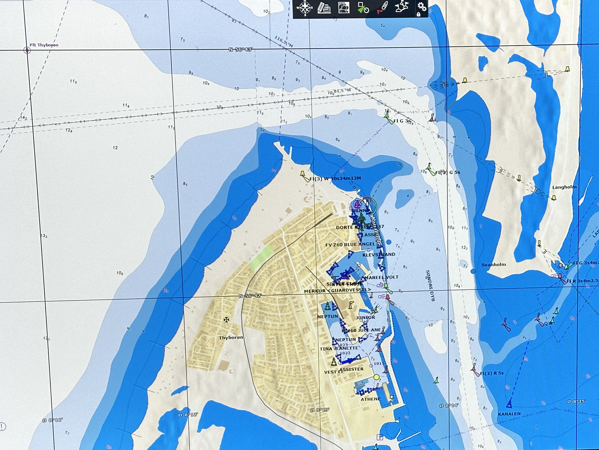
Nautical chart of the fairway from the North Sea into Thyboron Canal and the outer harbour at the Port of Thyboron.
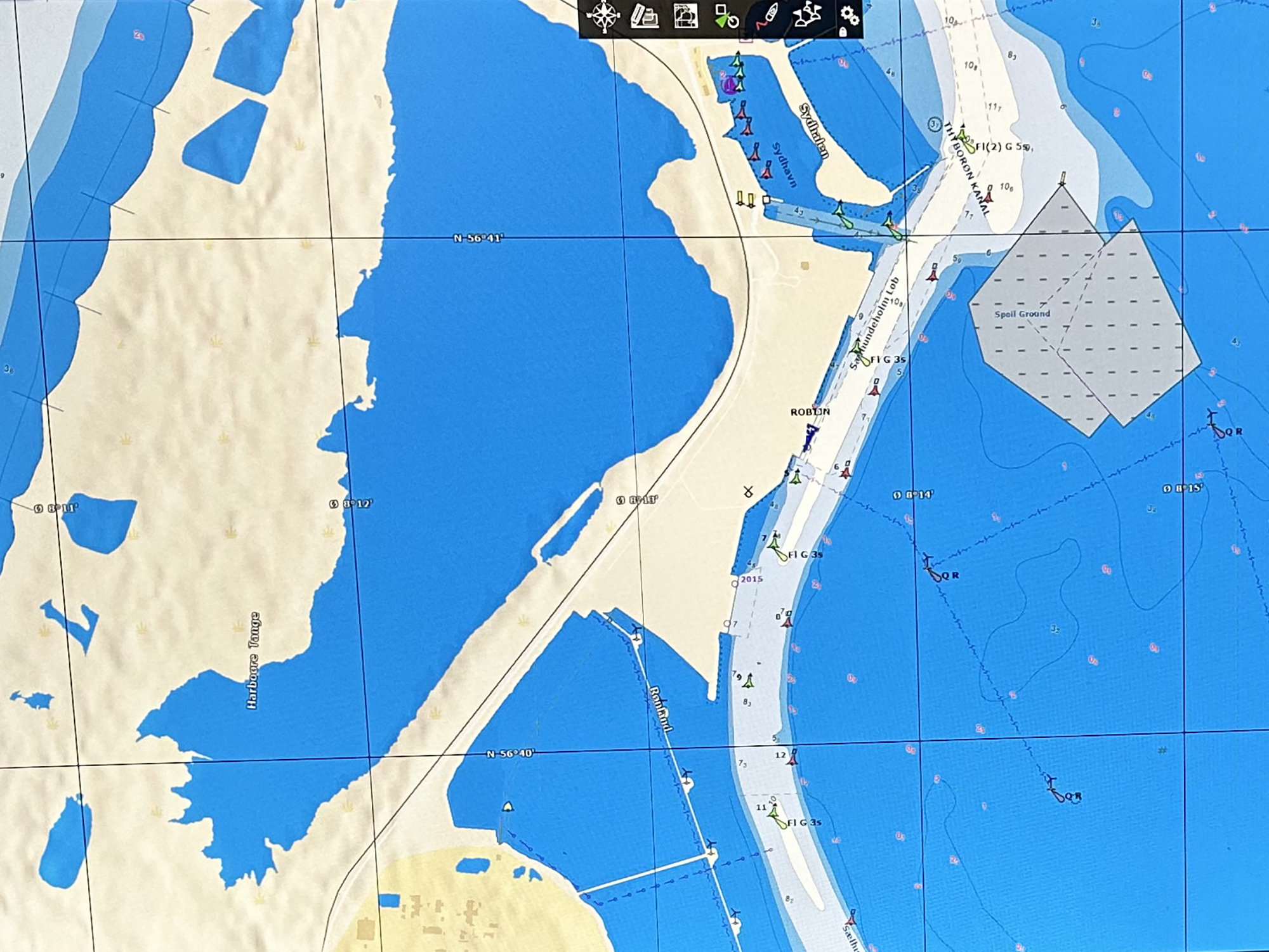
Nautical chart of the southern part of the Port of Thyboron with Limfjordskaj l, ll and lll.
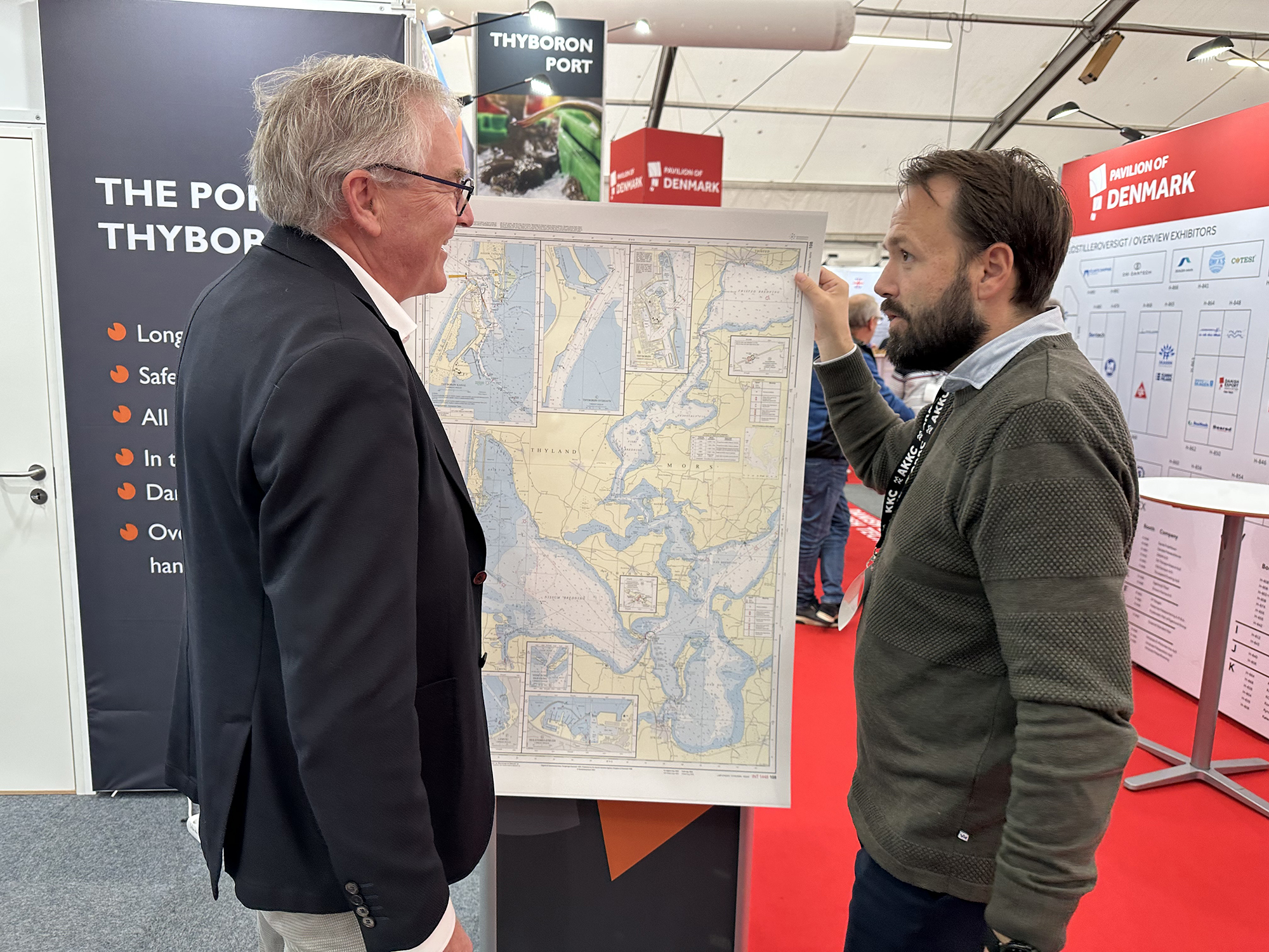
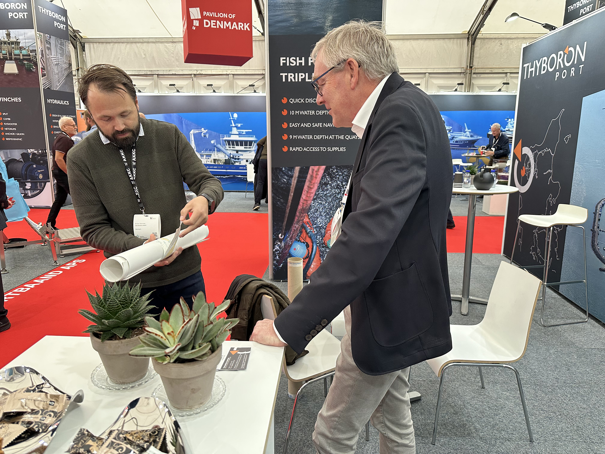
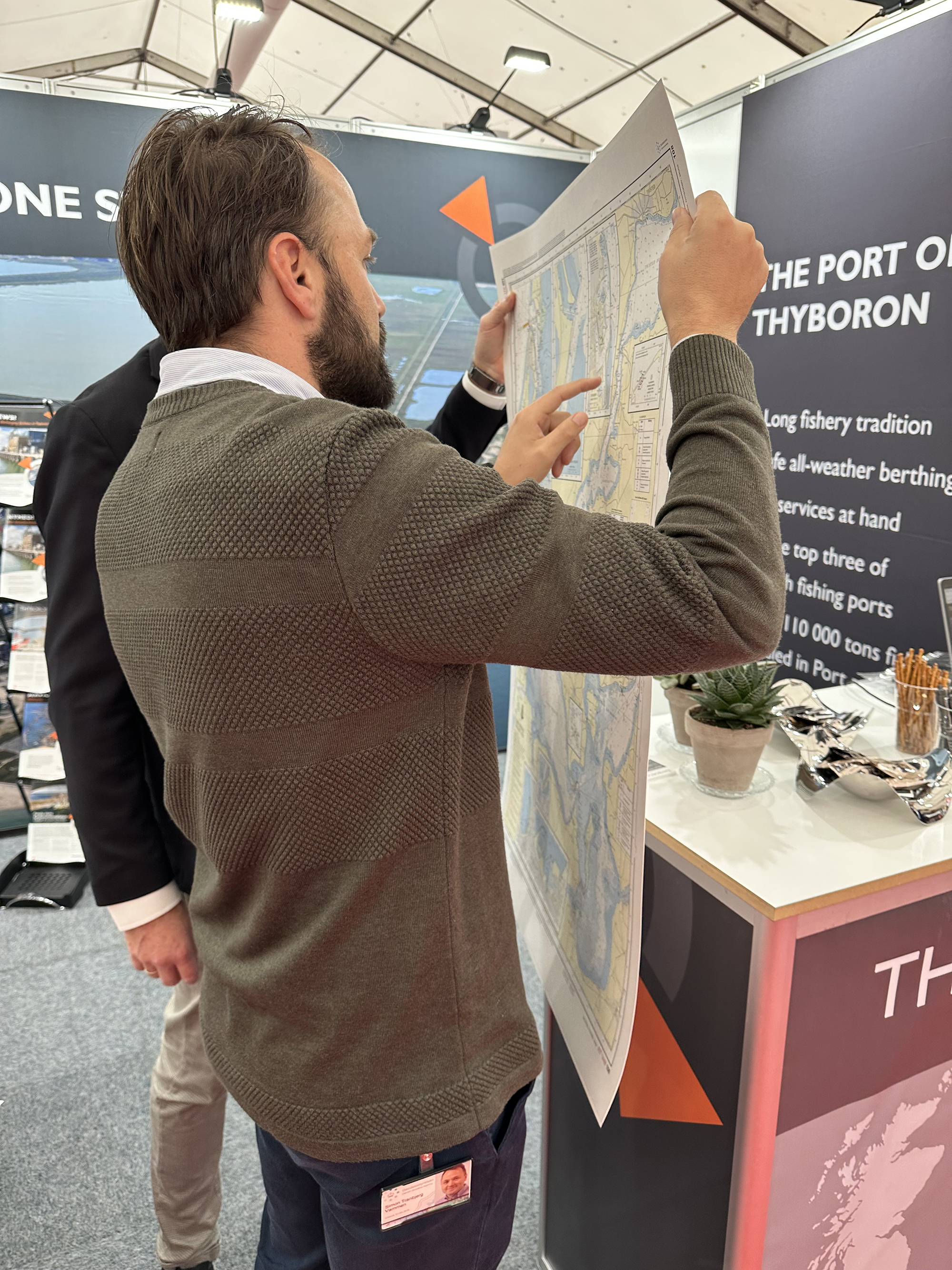
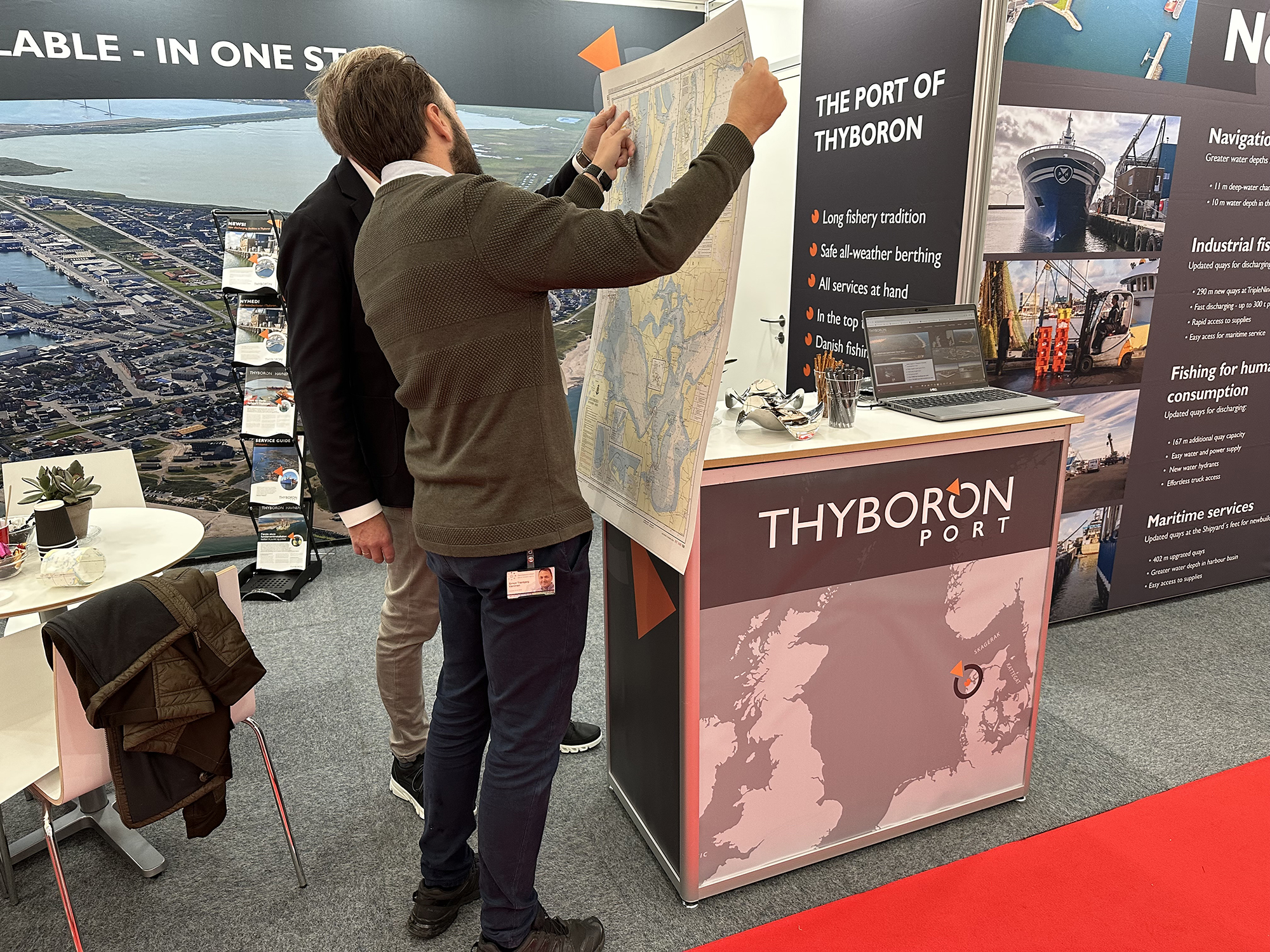
Presentation in person of nautical charts
It was something of a culmination when the new version of the nautical chart was presented in person by Simon Tranbjerg Vammen from the Danish Geodata Agency (DGA) during the DanFish International trade fair in Aalborg. Simon Tranbjerg Vammen has managed all the processes involved in updating the Danish nautical charts. It has been a pleasure working with Simon Tranbjerg Vammen, and we want to thank him for the painstaking work that has gone into this update following the significant changes that have been made to the fairway to the Port of Thyboron. It is historic that new water depths in the fairway to the Port of Thyboron have prompted an update of Denmark’s official nautical charts. Jesper Holt Jensen, CEO at the Port of Thyboron, and the entire maritime department are delighted that the updated version is now being made available to the shipping industry as a whole.
A milestone for completed dredging project
The update of the nautical chart marks the completion of the biggest investment ever in the history of the Port of Thyboron. The large-scale dredging project stretched from 2021 until January 2023, and included the recovery of material from the dredging for use in establishing 170,000 square metres of new quayside areas for efficient cargo handling. The new port area was inaugurated at the end of December 2022 with a major rock storage project immediately following its completion.
Transition from MSL to LAT in inner Danish waters
The update of the nautical chart includes a transition from Mean Sea Level (MSL), which was previously used for inner Danish waters, to Lowest Astronomical Tide (LAT), which is the standard unit of measurement used in the EU and the entire North Sea area. The conversion makes it significantly simpler for international shipping to use the Port of Thyboron and ties in with the trend for standardising units of measurement.
10.80 - 11 metres LAT
For the Port of Thyboron, the conversion means that the new nautical charts state 10.80 metres of water depth LAT instead of 11 metres MSL. The lowest water depths are shown on the charts, and it is important to note that the Port of Thyboron maintains a depth of 11 metres LAT. If 11 metres LAT is needed for large offshore wind projects, the Port of Thyboron can be contacted for special documentation for carrying out the task.
Published Sunday, November 12, 2023